Delorme Atlas & Gazetteer
DELORME ATLAS & GAZETTEER
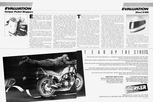
EVALUATION
A STATE-WIDE GUIDE TO THE ROADS LESS TRAVELED
FOR RIDERS WITH EVEN A TOUCH OF wanderlust, modern road maps can be about as useful as their counterparts of 2500 years ago, which showed the earth to be flat as a cow pie. Oh, today’s maps show bustling Interstates and roads wide enough to broadslide a motorhome on, but little of the intricate network of tiny side roads, perfect for exploring.
An Atlas & Gazetteer from DeLorme Mapping Co. (P.O. Box 298, Freeport, MA 04032), though, sticks out a country mile from its flat-earth cousins. Ours was a two-volume set of Northern and Southern California; DeLorme currently publishes single volumes for nine other states (Maine, New Hampshire, Vermont, Virginia, Ohio, New York, Michigan, Pennsylvania and Florida with prices ranging from $10.95 to $12.95, plus $2 shipping), and eventually will offer one for every state in the Union.
If any of those other maps are like the ones for California, they’ll make a rider hungry for new places squeal with delight. DeLorme claims to have taken special pains to show the small, sometimes unpaved roads that lace the state, and that certainly seems to be the case, because in that respect the California volumes absolutely smoke garden-variety gas station maps, as well as Rand McNally’s Road Atlas.
The same attention to detail shows up in the gazetteer section, too, with more than 2000 listings in 22 categories, which include excursions, scenic drives, unique natural features, wilderness areas, campgrounds, parks, museums, science centers and historic sites. In addition, there’s an index of cities and towns, with the California volumes containing 2000 entries each. The atlas maps even show elevation contours, and include
colorings, shadings and symbols to indicate woodlands, orchards, scrub, dry ponds, sand, and intricate surfaces of lava, tailings or dredge.
Such elaborate detail might provide interesting small talk at a gas stop, but it tends to make the maps slightly difficult to read. Moreover, as complete and detailed as DeLorme’s Atlases & Gazetteers are, it’s surprising there’s no chart for time and distance between towns. And its size—1 1 inches by 16 inches—makes it awkward to take along unless your bike’s equipped with luggage.
Still, compared to what a DeLorme Atlas & Gazetteer offers—and what the flat-earth maps don’t —those things amount to little more than inconveniences. Because DeLorme’s can tell you just where to go—and how to get there. And in the process you can explore a few new worlds of your own.